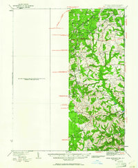
1934 Map of Upper Marlboro
USGS Topo · Published 1961About this map
Prince George's County at the height of the Great Depression is characterized by its emerging suburban crossroads and established agricultural land. The eastern edge of the District of Columbia is marked by developing communities like Seat Pleasant and Forestville, while the county seat of Upper Marlboro serves as the focal point for the surrounding rural districts. The landscape is segmented into numbered electoral or taxing districts, including No 14 Bowie and No 15 Mellwood, revealing a structured local governance of the era.
Find a feature on this map
69 named features on this map. Tap any name to fly to it.
Don’t see what you’re looking for? This feature index may not catch every label — zoom into the map to look around manually.
Map Details
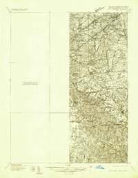
Editions of this 1934 Upper Marlboro Map
2 editions found
Other maps of this area

1890 · Mt. Vernon
USGS Topo · 1:125,000

1891 · Mt. Vernon
USGS Topo · 1:125,000

1892 · Laurel
USGS Topo · 1:62,500

1892 · Prince Frederick
USGS Topo · 1:62,500

1892 · Brandywine
USGS Topo · 1:62,500

1892 · Owensville
USGS Topo · 1:62,500

1893 · Frederick
USGS Topo · 1:125,000

1894 · Laurel
USGS Topo · 1:62,500

1894 · Frederick
USGS Topo · 1:125,000

1894 · Relay
USGS Topo · 1:62,500