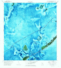
1971 Map of Upper Matecumbe Key
USGS Topo · Published 1973About this map
Islamorada and the surrounding islands of the Florida Keys are shown here during the early 1970s, a period when the Overseas Highway and the Intracostal Waterway defined the region's connectivity. This orthophotomap combines aerial photography with topographic data, revealing the intricate shallow-water environment of Florida Bay to the north and the deep expanse of Hawk Channel to the south.
Find a feature on this map
36 named features on this map. Tap any name to fly to it.
Don’t see what you’re looking for? This feature index may not catch every label — zoom into the map to look around manually.
Map Details
Editions of this 1971 Upper Matecumbe Key Map
3 editions found
Other maps of this area

1956 · Miami
USGS Topo · 1:250,000

1958 · Miami
USGS Topo · 1:250,000

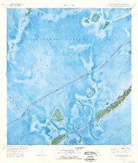
1971 · Upper Matecumbe Key
USGS Topo · 1:24,000

1971 · Tavernier
USGS Topo · 1:24,000

1971 · Plantation Key
USGS Topo · 1:24,000

1971 · Long Key
USGS Topo · 1:24,000
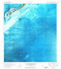
1971 · Lower Matecumbe Key
USGS Topo · 1:24,000

1972 · Pelican Keys
USGS Topo · 1:24,000

1972 · Buchanan Keys
USGS Topo · 1:24,000

1972 · Calusa Keys
USGS Topo · 1:24,000