
1971 Map of Upper Matecumbe Key
USGS Topo · Published 1973About this map
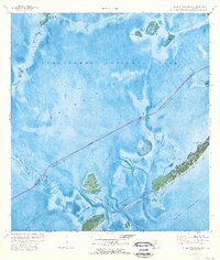
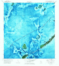
Islamorada serves as the primary hub of development on Upper Matecumbe Key, where a cluster of buildings and a Cem reflect the mid-century growth of this Florida Keys community. The landscape is defined by the shallow waters of Florida Bay to the north and the Hawk Channel to the south, with the Intracoastal Waterway cutting through the basin. This 1971 orthophotomap provides a clear view of the keys before extensive modern redevelopment, preserving the alignment of the Overseas Highway across the Teatable Key Fill. To the west, the protected reaches of Everglades National Park encompass numerous small landforms such as Panhandle Key and Gopher Keys, while the isolated Lignumvitae Key and the tiny Indian Key stand apart from the main populated chain.
Find a feature on this map
39 named features on this map. Tap any name to fly to it.
Don’t see what you’re looking for? This feature index may not catch every label — zoom into the map to look around manually.
Map Details
Editions of this 1971 Upper Matecumbe Key Map
3 editions found
Other maps of this area

1956 · Miami
USGS Topo · 1:250,000

1958 · Miami
USGS Topo · 1:250,000

1971 · Tavernier
USGS Topo · 1:24,000

1971 · Plantation Key
USGS Topo · 1:24,000

1971 · Long Key
USGS Topo · 1:24,000
1971 · Lower Matecumbe Key
USGS Topo · 1:24,000

1972 · Pelican Keys
USGS Topo · 1:24,000

1972 · Buchanan Keys
USGS Topo · 1:24,000

1972 · Calusa Keys
USGS Topo · 1:24,000
1982 · Homestead
USGS Topo · 1:100,000