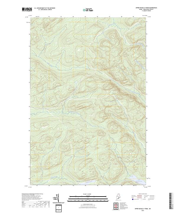
2024 Map of Upper McNally Pond
USGS Topo · Published 2024About this map
Upper McNally Pond anchors the southeast corner of this Maine wilderness landscape, where the topography is defined by a dense network of watercourses rather than settlements. The northern reaches are drained by the Big Brook and Twentyfive Mile Brook, while the central terrain is carved by the Little Musquacook Stream and its various tributaries. This modern survey illustrates the persistent timber-land character of the North Maine Woods, where the only significant human infrastructure is the Realty Rd, a vital corridor for forest management and back-country access. The arrangement of the Right Fork Farrar Brook and Left Fork Farrar Brook shows the complex drainage patterns typical of this glacial region, providing a detailed look at the hydrology of Aroostook County in the early 21st century.
Find a feature on this map
10 named features on this map. Tap any name to fly to it.
Don’t see what you’re looking for? This feature index may not catch every label — zoom into the map to look around manually.
Map Details
Editions of this 2024 Upper McNally Pond Map
This is the sole edition of this map. No revisions or reprints were ever made.
Other maps of this area

1931 · Fish River Lake
USGS Topo · 1:48,000

1931 · Mooseleuk Lake
USGS Topo · 1:48,000

1932 · Musquacook Lakes
USGS Topo · 1:48,000

1932 · Allagash Falls
USGS Topo · 1:48,000

1935 · Musquacook Lakes
USGS Topo · 1:62,500

1935 · Fish River Lake
USGS Topo · 1:62,500

1935 · Mooseleuk Lake
USGS Topo · 1:62,500

1935 · Allagash Falls
USGS Topo · 1:62,500

1954 · Presque Isle
USGS Topo · 1:250,000

1956 · Allagash Falls
USGS Topo · 1:50,000