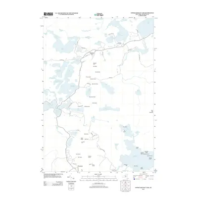
2013 Map of Upper Saranac Lake
USGS Topo · Published 2013About this map
Saranac Inn and the southern hamlet of Wawbeek anchor this survey of the High Peaks region's water-connected landscape. The map details a complex network of glacial ponds and portages, most notably the historic Bartletts Carry which connects Upper Saranac Lake toward the east. The terrain is defined by an intricate puzzle of peninsulas and islands, including Eagle Island and Buck Island, surrounded by deep-water bays like Fish Creek Bay and Gilpin Bay.
Find a feature on this map
97 named features on this map. Tap any name to fly to it.
Don’t see what you’re looking for? This feature index may not catch every label — zoom into the map to look around manually.
Map Details
Editions of this 2013 Upper Saranac Lake Map
This is the sole edition of this map. No revisions or reprints were ever made.
Other maps of this area

1902 · Saranac
USGS Topo · 1:62,500

1904 · Saranac
USGS Topo · 1:62,500

1904 · Santanoni
USGS Topo · 1:62,500

1904 · Long Lake
USGS Topo · 1:62,500

1905 · Saint Regis
USGS Topo · 1:62,500

1948 · Ogdensburg
USGS Topo · 1:250,000

1951 · Ogdensburg
USGS Topo · 1:250,000

1953 · Ogdensburg
USGS Topo · 1:250,000

1953 · Santanoni
USGS Topo · 1:62,500

1955 · Long Lake
USGS Topo · 1:62,500