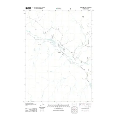
2012 Map of Upper Slide Lake
USGS Topo · Published 2012About this map
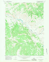
Upper Slide Lake and the Gros Ventre River define this high-altitude landscape in the Teton region. This 2012 survey documents a complex drainage network where the river is joined by numerous tributaries, including Tepee Cr and Goosewing Cr. The topography is marked by expansive clearings and plateaus such as Yellowjacket Flat, Breakneck Flat, and the curiously named Two Echo Park. Evidence of early extraction or geography-based naming persists at Coal Mine Draw near the river bend. Access to this remote area is primarily maintained via the Gros Ventre Rd and Goosewing Ranch Lodge Rd, which navigate the terrain between the Gray Hills and Gunsight Pass. The map also captures smaller water bodies like Goose Lake and Soda Lake, providing a clear view of the hydrological patterns of the Teton Wilderness boundary.
Find a feature on this map
27 named features on this map. Tap any name to fly to it.
Don’t see what you’re looking for? This feature index may not catch every label — zoom into the map to look around manually.
Map Details
Editions of this 2012 Upper Slide Lake Map
This is the sole edition of this map. No revisions or reprints were ever made.
Other maps of this area
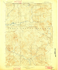
1902 · Mt Leidy
USGS Topo · 1:125,000
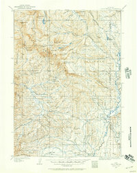
1907 · Gros Ventre
USGS Topo · 1:125,000
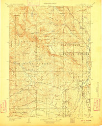
1910 · Gros Ventre
USGS Topo · 1:125,000

1955 · Driggs
USGS Topo · 1:250,000
1958 · Driggs
USGS Topo · 1:250,000
1962 · Driggs
USGS Topo · 1:250,000
1965 · Green Mountain
USGS Topo · 1:24,000
1965 · Mount Leidy
USGS Topo · 1:24,000
1965 · Upper Slide Lake
USGS Topo · 1:24,000
1965 · Tripod Peak
USGS Topo · 1:24,000