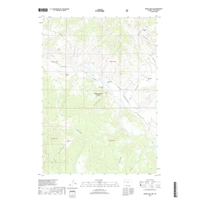
2018 Map of Upper Slide Lake
USGS Topo · Published 2018About this map
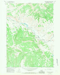
Teton National Forest encompasses this high-elevation landscape, where the Gros Ventre River carves a path through the wilderness east of Jackson Hole. This 2018 survey documents a region defined by dramatic hydro-geology, most notably at Upper Slide and Upper Slide Lake, formed by massive earth movements. The map details a complex drainage network including Goosewing Cr, Lake Cr, and Soda Creek, which feed into the main river valley. Evidence of seasonal use and navigation persists through named points like Two Echo Park and the elevated Gunsight Pass. Upland features such as Yellowjacket Flat and Breakneck Flat provide significant topographical context for those studying the remote cattle-grazing and hunting grounds of western Wyoming, while the label for Coal Mine Draw hints at the area's geological and extractive potential.
Find a feature on this map
37 named features on this map. Tap any name to fly to it.
Don’t see what you’re looking for? This feature index may not catch every label — zoom into the map to look around manually.
Map Details
Editions of this 2018 Upper Slide Lake Map
This is the sole edition of this map. No revisions or reprints were ever made.
Other maps of this area
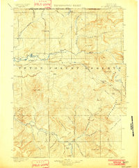
1902 · Mt Leidy
USGS Topo · 1:125,000
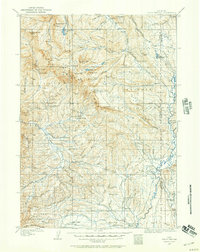
1907 · Gros Ventre
USGS Topo · 1:125,000
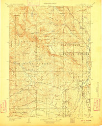
1910 · Gros Ventre
USGS Topo · 1:125,000

1955 · Driggs
USGS Topo · 1:250,000
1958 · Driggs
USGS Topo · 1:250,000
1962 · Driggs
USGS Topo · 1:250,000
1965 · Green Mountain
USGS Topo · 1:24,000
1965 · Mount Leidy
USGS Topo · 1:24,000
1965 · Upper Slide Lake
USGS Topo · 1:24,000
1965 · Tripod Peak
USGS Topo · 1:24,000