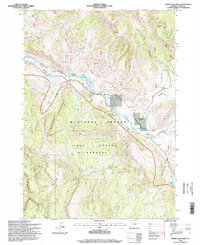
1996 Map of Upper Slide Lake
USGS Topo · Published 1998About this map
Goose Lake sits within a landscape defined by the high elevations of Teton County, as documented in this mid-1990s revision. The drainage of Lightning Creek and the surrounding terrain reflect a wilderness character where human settlement is sparse, concentrated primarily on specialized sites and natural landmarks. This survey, updated with imagery from the early 1990s and field-checked by the U.S. Forest Service, offers a precise look at the drainage patterns and land management boundaries in this part of Wyoming before the turn of the millennium.
Find a feature on this map
2 named features on this map. Tap any name to fly to it.
Don’t see what you’re looking for? This feature index may not catch every label — zoom into the map to look around manually.
Map Details
Editions of this 1996 Upper Slide Lake Map
This is the sole edition of this map. No revisions or reprints were ever made.
Other maps of this area

1902 · Mt Leidy
USGS Topo · 1:125,000

1907 · Gros Ventre
USGS Topo · 1:125,000

1910 · Gros Ventre
USGS Topo · 1:125,000

1955 · Driggs
USGS Topo · 1:250,000

1958 · Driggs
USGS Topo · 1:250,000

1962 · Driggs
USGS Topo · 1:250,000

1965 · Green Mountain
USGS Topo · 1:24,000

1965 · Mount Leidy
USGS Topo · 1:24,000
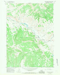
1965 · Upper Slide Lake
USGS Topo · 1:24,000

1965 · Tripod Peak
USGS Topo · 1:24,000