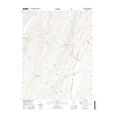
2014 Map of Upper Tract
USGS Topo · Published 2014About this map
Upper Tract and Brushy Run anchor this portion of Pendleton County, where the South Branch Potomac River carves a deep valley between parallel mountain ridges. The terrain is defined by dramatic geological features like Seneca Rocks and the winding Smoke Hole canyon, much of which is preserved within the Monongahela National Forest. Historical infrastructure and mountain life are represented by the North Fork Mountain Lookout Tower and the crossing at Upper Tract Bridge. Numerous springs, including Hermit Island Spring, Alt Farm Spring, and Waggy Farm Spring, indicate a landscape where water sources were critical to high-country farming and homesteading. The map details the intricate drainage system of the Potomac watershed, featuring named runs like Shuckledorf Run and Powdermill Run that cut through steep gaps such as Roy Gap.
Find a feature on this map
40 named features on this map. Tap any name to fly to it.
Don’t see what you’re looking for? This feature index may not catch every label — zoom into the map to look around manually.
Map Details
Editions of this 2014 Upper Tract Map
This is the sole edition of this map. No revisions or reprints were ever made.
Other maps of this area

1892 · Franklin
USGS Topo · 1:125,000

1896 · Franklin
USGS Topo · 1:125,000

1920 · Petersburg
USGS Topo · 1:48,000

1920 · Onego
USGS Topo · 1:62,500

1921 · Petersburg
USGS Topo · 1:48,000

1921 · Onego
USGS Topo · 1:48,000

1922 · Onego
USGS Topo · 1:62,500

1922 · Fort Seybert
USGS Topo · 1:48,000

1922 · Petersburg
USGS Topo · 1:62,500

1922 · Circleville
USGS Topo · 1:62,500