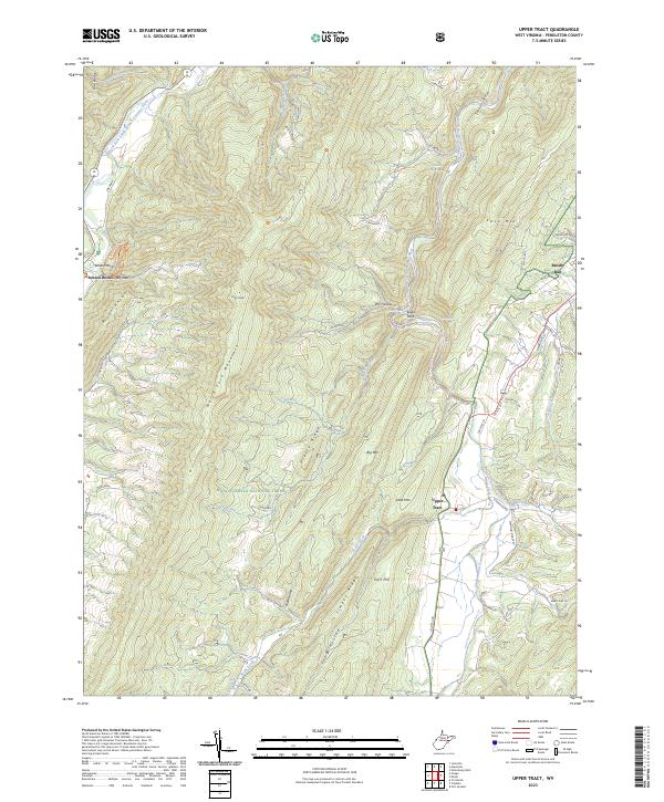
2023 Map of Upper Tract
USGS Topo · Published 2023About this map
Upper Tract and Brushy Run anchor this section of the Potomac Highlands, where the South Branch Potomac River and its North Fork cut through the dramatic ridges of the Monongahela National Forest. The landscape is defined by the massive spine of North Fork Mountain and the prominent River Knobs, which give way to notable geological features like Roy Gap and Seneca Rocks. The presence of numerous named water sources, including Hermit Island Spring, Eagle Rock Spring, and Waggy Farm Spring, suggests a topography rich in karst features and perennial flows that have sustained valley settlements for generations.
Find a feature on this map
55 named features on this map. Tap any name to fly to it.
Don’t see what you’re looking for? This feature index may not catch every label — zoom into the map to look around manually.
Map Details
Editions of this 2023 Upper Tract Map
This is the sole edition of this map. No revisions or reprints were ever made.
Other maps of this area

1892 · Franklin
USGS Topo · 1:125,000

1896 · Franklin
USGS Topo · 1:125,000

1920 · Petersburg
USGS Topo · 1:48,000

1920 · Onego
USGS Topo · 1:62,500

1921 · Petersburg
USGS Topo · 1:48,000

1921 · Onego
USGS Topo · 1:48,000

1922 · Onego
USGS Topo · 1:62,500

1922 · Fort Seybert
USGS Topo · 1:48,000

1922 · Petersburg
USGS Topo · 1:62,500

1922 · Circleville
USGS Topo · 1:62,500