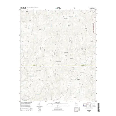
2014 Map of Upshaw
USGS Topo · Published 2014About this map
The William B. Bankhead National Forest defines much of this territory straddling the Lawrence and Winston county line. The landscape is characterized by a series of high ridges and deep hollows, notably south of the Tennessee Valley Divide, where water flows toward the Capsey Creek and Boone Cr drainages. The small settlement of Upshaw serves as a local crossroads in the southeast, surrounded by a high concentration of rural burial grounds and country churches that reflect the area's pioneer and family-based settlement patterns.
Find a feature on this map
62 named features on this map. Tap any name to fly to it.
Don’t see what you’re looking for? This feature index may not catch every label — zoom into the map to look around manually.
Map Details
Editions of this 2014 Upshaw Map
This is the sole edition of this map. No revisions or reprints were ever made.
Other maps of this area

1935 · Moulton
USGS Topo · 1:24,000

1935 · Upshaw
USGS Topo · 1:24,000

1935 · Danville
USGS Topo · 1:48,000

1935 · Oakville
USGS Topo · 1:24,000

1936 · Mc Kendry
USGS Topo · 1:24,000

1936 · Moulton
USGS Topo · 1:48,000

1936 · Stroups Crossroads
USGS Topo · 1:24,000

1938 · Danville
USGS Topo · 1:62,500

1940 · Mt Hope
USGS Topo · 1:62,500

1956 · Gadsden
USGS Topo · 1:250,000