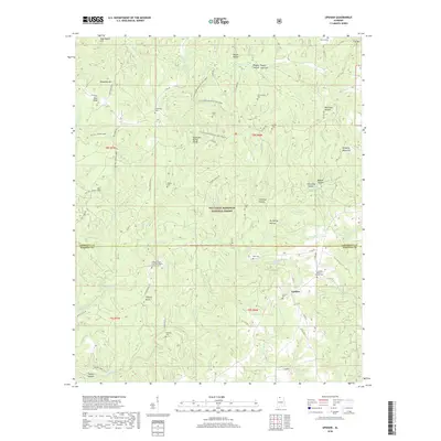
2018 Map of Upshaw
USGS Topo · Published 2018About this map
The Tennessee Valley Divide snakes through this portion of the William B. Bankhead National Forest, separating the northern waters of W Flint Creek from the southern drainages of Capsey Creek. In the southeastern corner, the settlement of Upshaw serves as a local hub near several family and congregational landmarks, including Corinth Cemetery and the Friendship Baptist Church Cemetery. The landscape is deeply dissected by numerous hollows and coves, such as Sheats Hollow and Poplar Log Cove, which define the rugged character of the boundary between Lawrence and Winston counties.
Find a feature on this map
79 named features on this map. Tap any name to fly to it.
Don’t see what you’re looking for? This feature index may not catch every label — zoom into the map to look around manually.
Map Details
Editions of this 2018 Upshaw Map
This is the sole edition of this map. No revisions or reprints were ever made.
Other maps of this area
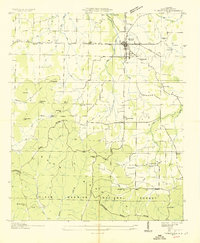
1935 · Moulton
USGS Topo · 1:24,000
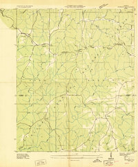
1935 · Upshaw
USGS Topo · 1:24,000
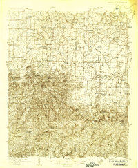
1935 · Danville
USGS Topo · 1:48,000
1935 · Oakville
USGS Topo · 1:24,000
1936 · Mc Kendry
USGS Topo · 1:24,000
1936 · Moulton
USGS Topo · 1:48,000
1936 · Stroups Crossroads
USGS Topo · 1:24,000
1938 · Danville
USGS Topo · 1:62,500
1940 · Mt Hope
USGS Topo · 1:62,500
1956 · Gadsden
USGS Topo · 1:250,000