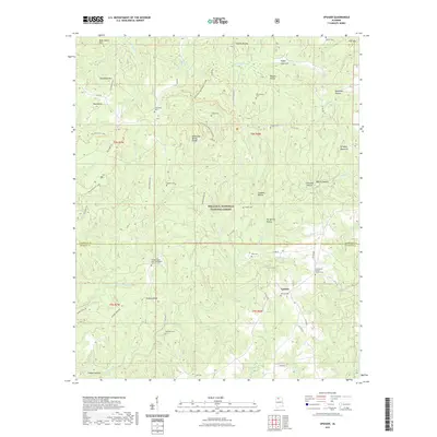
2021 Map of Upshaw
USGS Topo · Published 2021About this map
Upshaw sits at the intersection of rural roads within the William B. Bankhead National Forest, representing the enduring community character of the Alabama highlands. The landscape is defined by the Tennessee Valley Divide, where ridges like Brindley Mountain and Dillashaw Mtn separate complex drainage systems including Soaking Water Cr and Capsey Creek. This geography created isolated hollows and coves, such as Poplar Log Cove and Blackman Hollow, which historically dictated the placement of small family settlements and their associated burial grounds.
Find a feature on this map
87 named features on this map. Tap any name to fly to it.
Don’t see what you’re looking for? This feature index may not catch every label — zoom into the map to look around manually.
Map Details
Editions of this 2021 Upshaw Map
This is the sole edition of this map. No revisions or reprints were ever made.
Other maps of this area

1935 · Moulton
USGS Topo · 1:24,000

1935 · Upshaw
USGS Topo · 1:24,000

1935 · Danville
USGS Topo · 1:48,000

1935 · Oakville
USGS Topo · 1:24,000

1936 · Mc Kendry
USGS Topo · 1:24,000

1936 · Moulton
USGS Topo · 1:48,000

1936 · Stroups Crossroads
USGS Topo · 1:24,000

1938 · Danville
USGS Topo · 1:62,500

1940 · Mt Hope
USGS Topo · 1:62,500

1956 · Gadsden
USGS Topo · 1:250,000