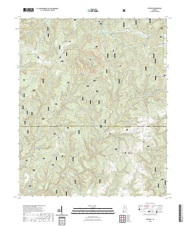
2024 Map of Upshaw
USGS Topo · Published 2024About this map
The settlement of Upshaw sits at the intersection of several rural routes on this detailed survey of the North Alabama highlands. Much of the southern and central terrain is dominated by the William B. Bankhead National Forest, where the topography is defined by deep incisions like Capsey Canyon and numerous drainages including Boone Creek and Penn Branch. The area is a significant hydrological point, marked by the Tennessee Valley Divide which separates the local watersheds. Numerous family-named cemeteries such as Asherbraner Cem, McVay Cem, and Pearson Cem are scattered throughout the hills, providing a clear record of early families in this part of Lawrence and Winston counties. The landscape is characterized by prominent heights like Dillashaw Mountain and Brindley Mountain, alongside several recreational paths including the Flint Creek Multiple Use Loop Trl.
Find a feature on this map
79 named features on this map. Tap any name to fly to it.
Don’t see what you’re looking for? This feature index may not catch every label — zoom into the map to look around manually.
Map Details
Editions of this 2024 Upshaw Map
This is the sole edition of this map. No revisions or reprints were ever made.
Other maps of this area

1935 · Moulton
USGS Topo · 1:24,000

1935 · Upshaw
USGS Topo · 1:24,000

1935 · Danville
USGS Topo · 1:48,000

1935 · Oakville
USGS Topo · 1:24,000

1936 · Mc Kendry
USGS Topo · 1:24,000

1936 · Moulton
USGS Topo · 1:48,000

1936 · Stroups Crossroads
USGS Topo · 1:24,000

1938 · Danville
USGS Topo · 1:62,500

1940 · Mt Hope
USGS Topo · 1:62,500

1956 · Gadsden
USGS Topo · 1:250,000