
2020 Map of Upton Mountain
USGS Topo · Published 2020About this map
The Malheur River cuts through this high desert terrain in Harney County, feeding into the significant expanse of the Warm Springs Reservoir at the southeastern corner. This landscape is defined by its water management, evidenced by numerous high-elevation catchment points like Altnow Gap Reservoir, Drinkwater Reservoir Number Two, and the Stray Dog Reservoir. These features, alongside named springs such as Alkali Spring and Buskirk Spring, reveal the essential infrastructure required for ranching and land use in this arid region of eastern Oregon.
Find a feature on this map
33 named features on this map. Tap any name to fly to it.
Don’t see what you’re looking for? This feature index may not catch every label — zoom into the map to look around manually.
Map Details
Editions of this 2020 Upton Mountain Map
This is the sole edition of this map. No revisions or reprints were ever made.
Other maps of this area

1955 · Burns
USGS Topo · 1:250,000

1958 · Burns
USGS Topo · 1:250,000

1959 · Burns
USGS Topo · 1:250,000
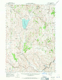
1966 · Beulah
USGS Topo · 1:62,500
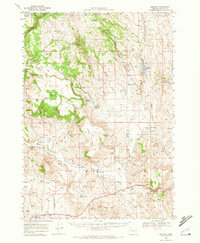
1968 · Drewsey
USGS Topo · 1:62,500
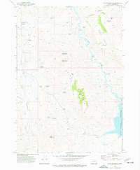
1973 · Upton Mountain
USGS Topo · 1:24,000
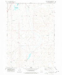
1977 · Bartlett Mtn
USGS Topo · 1:24,000
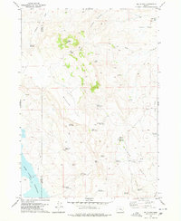
1978 · Selle Gap
USGS Topo · 1:24,000
1978 · Stinkingwater Mountains
USGS Topo · 1:100,000
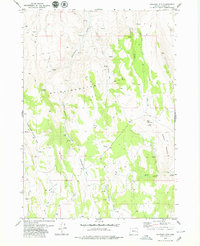
1979 · Coleman Mtn
USGS Topo · 1:24,000