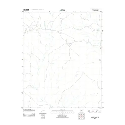
2011 Map of Uranium Spring
USGS Topo · Published 2011About this map
Uranium Spring serves as a namesake landmark in this corner of Apache County, where the high desert landscape is defined by its vital water sources. The area's drainage pattern is dominated by the West Fork Black Creek and the main course of Black Creek, which carve through the terrain near the eastern border. These waterways historically dictated the paths of travel and the placement of small outposts like Oak Springs and the nearby Oak Spring Valley. The presence of the Campus Tank and various namesake springs such as Oak Spring highlights the importance of managed and natural water points for ranching and local settlement in this arid environment at the start of the 21st century.
Find a feature on this map
7 named features on this map. Tap any name to fly to it.
Don’t see what you’re looking for? This feature index may not catch every label — zoom into the map to look around manually.
Map Details
Editions of this 2011 Uranium Spring Map
This is the sole edition of this map. No revisions or reprints were ever made.
Other maps of this area

1886 · Fort Defiance
USGS Topo · 1:250,000

1892 · Fort Defiance
USGS Topo · 1:250,000

1954 · Gallup
USGS Topo · 1:250,000

1958 · Gallup
USGS Topo · 1:250,000

1959 · Gallup
USGS Topo · 1:250,000

1962 · Gallup
USGS Topo · 1:250,000

1967 · Gallup
USGS Topo · 1:250,000

1971 · Burntwater Wash
USGS Topo · 1:24,000
1971 · Joe Woody Well
USGS Topo · 1:24,000
1971 · Hunters Point
USGS Topo · 1:24,000