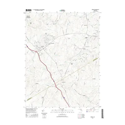
2016 Map of Urbana
USGS Topo · Published 2016About this map
Monocacy National Battlefield anchors the northwest corner of this Maryland landscape, where the agricultural traditions of Frederick County meet the expanding suburban corridors of the mid-2010s. The geography is defined by the winding course of Bennett Cr and Little Bennett Cr, with the boundary between Frederick and Montgomery Counties cutting diagonally through the southern half. Established settlements like Urbana and Hyattstown are shown alongside smaller locales such as Fountain Mills and Kingsley.
Find a feature on this map
143 named features on this map. Tap any name to fly to it.
Don’t see what you’re looking for? This feature index may not catch every label — zoom into the map to look around manually.
Map Details
Editions of this 2016 Urbana Map
This is the sole edition of this map. No revisions or reprints were ever made.
Other maps of this area

1893 · Frederick
USGS Topo · 1:125,000

1894 · Frederick
USGS Topo · 1:125,000

1908 · Rockville
USGS Topo · 1:62,500

1908 · Seneca
USGS Topo · 1:62,500

1908 · Ijamsville
USGS Topo · 1:62,500

1909 · Mount Airy
USGS Topo · 1:62,500

1909 · Ijamsville
USGS Topo · 1:62,500

1923 · Rockville
USGS Topo · 1:62,500

1942 · Frederick
USGS Topo · 1:62,500

1944 · Walkersville
USGS Topo · 1:31,680