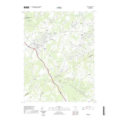
2019 Map of Urbana
USGS Topo · Published 2019About this map
Monocacy National Battlefield anchors the northwest corner of this landscape, marking a site of immense regional significance near Reels Mill. The map documents a corridor of Frederick County where rural tradition and aviation intersect, evidenced by the proximity of Ijamsville Airport, Burhans Memorial Airport, and Stolcrest Airport. This area is defined by the winding paths of Bush Cr and Bennett Cr, which historically dictated the placement of early settlements like Ijamsville, Monrovia, and Fountain Mills.
Find a feature on this map
178 named features on this map. Tap any name to fly to it.
Don’t see what you’re looking for? This feature index may not catch every label — zoom into the map to look around manually.
Map Details
Editions of this 2019 Urbana Map
This is the sole edition of this map. No revisions or reprints were ever made.
Other maps of this area

1893 · Frederick
USGS Topo · 1:125,000

1894 · Frederick
USGS Topo · 1:125,000
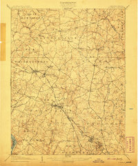
1908 · Rockville
USGS Topo · 1:62,500
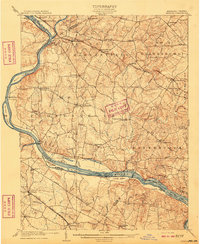
1908 · Seneca
USGS Topo · 1:62,500

1908 · Ijamsville
USGS Topo · 1:62,500
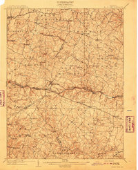
1909 · Mount Airy
USGS Topo · 1:62,500

1909 · Ijamsville
USGS Topo · 1:62,500
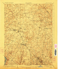
1923 · Rockville
USGS Topo · 1:62,500
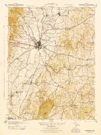
1942 · Frederick
USGS Topo · 1:62,500
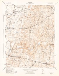
1944 · Walkersville
USGS Topo · 1:31,680