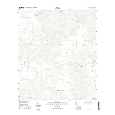
2014 Map of Uriah West
USGS Topo · Published 2014About this map
Uriah sits on the eastern edge of this coastal plain landscape in Monroe County, serving as a hub for a network of rural roads and timbered creek bottoms. The terrain is defined by a dense drainage system where Wallers Cr and Butterfork Cr carve through the elevation, eventually feeding into larger basins. Local history is anchored by several dispersed burial grounds, including Morning Star Cem in the northwest and Semirah Springs Cem to the south, which mark the locations of early community congregations and family settlements. Small crossroads like Jeddo and Palmers Crossroads represent the enduring settlement patterns of this region, where life followed the ridges between waterways like Beaverdam Cr. The topography includes distinctive landmarks such as Jenny Bell Hill, providing a detailed look at the rural geography of southwest Alabama during the early twenty-first century.
Find a feature on this map
52 named features on this map. Tap any name to fly to it.
Don’t see what you’re looking for? This feature index may not catch every label — zoom into the map to look around manually.
Map Details
Editions of this 2014 Uriah West Map
This is the sole edition of this map. No revisions or reprints were ever made.
Other maps of this area

1942 · Perdido
USGS Topo · 1:62,500

1944 · Perdido
USGS Topo · 1:62,500

1953 · Andalusia
USGS Topo · 1:250,000

1957 · Andalusia
USGS Topo · 1:250,000

1960 · Huxford
USGS Topo · 1:24,000

1972 · Frisco City
USGS Topo · 1:24,000

1972 · Uriah East
USGS Topo · 1:24,000

1972 · Chrysler
USGS Topo · 1:24,000

1972 · Uriah West
USGS Topo · 1:24,000

1972 · Flynns Lake
USGS Topo · 1:24,000