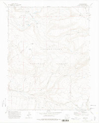
1973 Map of Ute
USGS Topo · Published 1975About this map
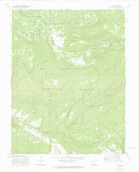
Tabeguache Basin and the surrounding plateaus of the Uncompahgre National Forest define this 1973 survey of Montrose County. The landscape is marked by the infrastructure of high-country ranching and water management, notably the Glencoe Ditch and the remote Maupin Cow Camp. Settlement is sparse, anchored by the namesake community of Ute in the southeast, which includes a marked Cem cemetery.
Find a feature on this map
23 named features on this map. Tap any name to fly to it.
Don’t see what you’re looking for? This feature index may not catch every label — zoom into the map to look around manually.
Map Details
Editions of this 1973 Ute Map
3 editions found
Other maps of this area

1956 · Moab
USGS Topo · 1:250,000

1959 · Moab
USGS Topo · 1:250,000

1960 · Moab
USGS Topo · 1:250,000

1962 · Moab
USGS Topo · 1:250,000

1964 · Moab
USGS Topo · 1:250,000
1964 · Redvale
USGS Topo · 1:24,000
1964 · Norwood
USGS Topo · 1:24,000

1965 · Moab
USGS Topo · 1:250,000
1967 · Sanborn Park
USGS Topo · 1:24,000
1973 · Ute
USGS Topo · 1:24,000