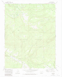
1973 Map of Ute
USGS Topo · Published 1985About this map
Tabeguache Basin and the upper reaches of Uncompahgre National Forest dominate this mid-century topographic record of Montrose County. The landscape is defined by its water management and seasonal transit, featuring the Glencoe Ditch and numerous watering points like Blue Mud Spring and Bramier Spring. Evidence of high-country ranching and communication is visible through labels for Maupin Cow Camp and the Telephone Trail, while the small settlement of Ute and a nearby Cem provide a touchstone for local genealogists.
Find a feature on this map
30 named features on this map. Tap any name to fly to it.
Don’t see what you’re looking for? This feature index may not catch every label — zoom into the map to look around manually.
Map Details
Editions of this 1973 Ute Map
3 editions found
Other maps of this area

1956 · Moab
USGS Topo · 1:250,000

1959 · Moab
USGS Topo · 1:250,000

1960 · Moab
USGS Topo · 1:250,000

1962 · Moab
USGS Topo · 1:250,000

1964 · Moab
USGS Topo · 1:250,000
1964 · Redvale
USGS Topo · 1:24,000
1964 · Norwood
USGS Topo · 1:24,000

1965 · Moab
USGS Topo · 1:250,000
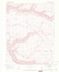
1967 · Sanborn Park
USGS Topo · 1:24,000
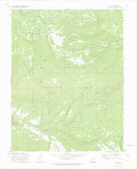
1973 · Ute
USGS Topo · 1:24,000