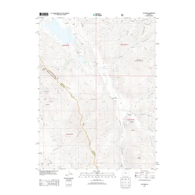
2013 Map of Ute Peak
USGS Topo · Published 2013About this map
The Williams Fork river valley anchors this high-elevation landscape, where the settlement of Leal and the nearby Trails End Ranch provide a human footprint within the Arapaho National Forest. The map details a transition from river-bottom meadows to the high peaks of the Front Range, specifically following the Grand and Summit County boundary line across the crest of Ute Peak. Significant industrial infrastructure is present in the form of the Henderson Mill and the Henderson Tunnel, illustrating the area's ongoing importance to Colorado's mining and milling operations.
Find a feature on this map
45 named features on this map. Tap any name to fly to it.
Don’t see what you’re looking for? This feature index may not catch every label — zoom into the map to look around manually.
Map Details
Editions of this 2013 Ute Peak Map
This is the sole edition of this map. No revisions or reprints were ever made.
Other maps of this area
1924 · Montezuma
USGS Topo · 1:62,500
1924 · Fraser
USGS Topo · 1:62,500
1926 · Fraser
USGS Topo · 1:62,500
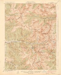
1926 · Montezuma
USGS Topo · 1:62,500
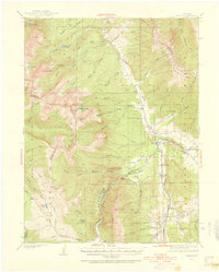
1929 · Dillon
USGS Topo · 1:62,500
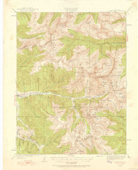
1933 · Montezuma
USGS Topo · 1:62,500
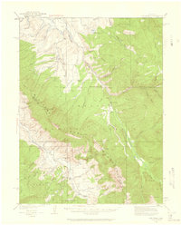
1933 · Ute Peak
USGS Topo · 1:62,500
1934 · Dillon
USGS Topo · 1:62,500
1937 · Ute Peak
USGS Topo · 1:62,500
1953 · Denver
USGS Topo · 1:250,000