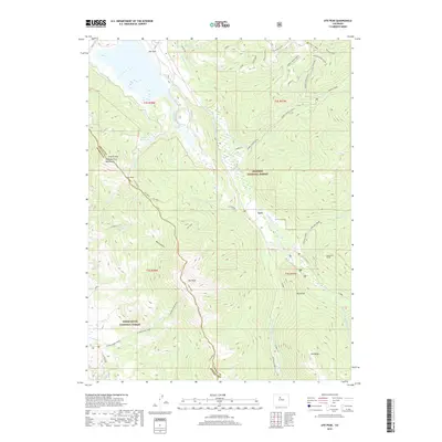
2019 Map of Ute Peak
USGS Topo · Published 2019About this map
Leal and the surrounding high-country watersheds define this 2019 survey of the Grand and Summit County line. The map detail highlights an intricate water management system, including the Barker Number 1 Ditch and the Ute Cr Reservoir, which serve the upper reaches of the Williams Fork. The terrain is dominated by prominent summits such as Ute Peak, Old Baldy, and Sugarloaf, alongside the Prairie Mtn Williams Fork Mountains. For researchers of industrial history, the Henderson Tunnel is a notable landmark in the eastern portion of the quadrangle. High-altitude travel is documented via the Acorn Creek Trail and Ute Pass, illustrating how modern recreation and historical transit routes follow the natural drainages of Boham Cr and Darling Creek.
Find a feature on this map
42 named features on this map. Tap any name to fly to it.
Don’t see what you’re looking for? This feature index may not catch every label — zoom into the map to look around manually.
Map Details
Editions of this 2019 Ute Peak Map
This is the sole edition of this map. No revisions or reprints were ever made.
Other maps of this area
1924 · Montezuma
USGS Topo · 1:62,500
1924 · Fraser
USGS Topo · 1:62,500
1926 · Fraser
USGS Topo · 1:62,500
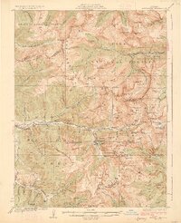
1926 · Montezuma
USGS Topo · 1:62,500
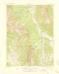
1929 · Dillon
USGS Topo · 1:62,500
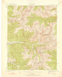
1933 · Montezuma
USGS Topo · 1:62,500
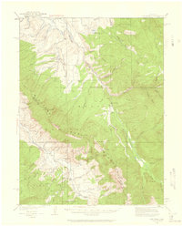
1933 · Ute Peak
USGS Topo · 1:62,500
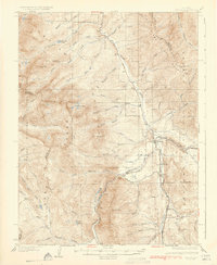
1934 · Dillon
USGS Topo · 1:62,500
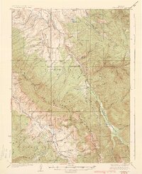
1937 · Ute Peak
USGS Topo · 1:62,500
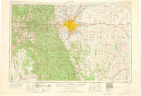
1953 · Denver
USGS Topo · 1:250,000