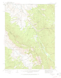
1933 Map of Ute Peak
USGS Topo · Published 1971About this map
Arapaho National Forest defines this high-elevation landscape, where the Williams Mountains and the East Branch Williams Fork river system dominate the topography. Surveyed in the early 1930s, the map reveals a wilderness managed for both conservation and early settlement, featuring the Williams Fork Game Refuge and vital forest service outposts like Horseshoe Ranger Sta and Slate Creek Ranger Sta.
Find a feature on this map
76 named features on this map. Tap any name to fly to it.
Don’t see what you’re looking for? This feature index may not catch every label — zoom into the map to look around manually.
Map Details
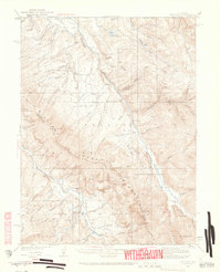
Editions of this 1933 Ute Peak Map
3 editions found
Other maps of this area

1915 · Longs Peak
USGS Topo · 1:125,000

1919 · Rocky Mountain National Park
USGS Topo · 1:125,000

1924 · Montezuma
USGS Topo · 1:62,500

1924 · Fraser
USGS Topo · 1:62,500

1926 · Fraser
USGS Topo · 1:62,500

1926 · Montezuma
USGS Topo · 1:62,500

1929 · Dillon
USGS Topo · 1:62,500

1933 · Mt. Powell
USGS Topo · 1:48,000

1933 · Montezuma
USGS Topo · 1:62,500

1933 · Ute Peak
USGS Topo · 1:62,500