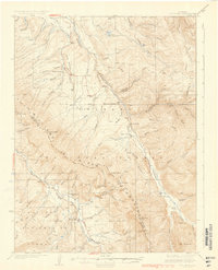
1937 Map of Ute Peak
USGS Topo · Published 1937About this map
The Williams River Mountains dominate this high-altitude landscape surveyed in the mid-1930s, where the Blue River and Williams River carve through the Arapaho National Forest. The settlement of Leal serves as a lone community hub in the southeast, while the rest of the terrain is defined by a network of drainage basins like Keyser Creek and Battle Creek. A surprising number of rural institutions are present in this demanding environment, including Columbine Sch and Hermosa Sch in the north and Ute Park Sch near the center.
Find a feature on this map
69 named features on this map. Tap any name to fly to it.
Don’t see what you’re looking for? This feature index may not catch every label — zoom into the map to look around manually.
Map Details
Editions of this 1937 Ute Peak Map
3 editions found

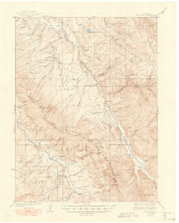
Other maps of this area

1915 · Longs Peak
USGS Topo · 1:125,000

1919 · Rocky Mountain National Park
USGS Topo · 1:125,000

1924 · Montezuma
USGS Topo · 1:62,500

1924 · Fraser
USGS Topo · 1:62,500

1926 · Fraser
USGS Topo · 1:62,500

1926 · Montezuma
USGS Topo · 1:62,500

1929 · Dillon
USGS Topo · 1:62,500

1933 · Mt. Powell
USGS Topo · 1:48,000

1933 · Montezuma
USGS Topo · 1:62,500

1933 · Ute Peak
USGS Topo · 1:62,500