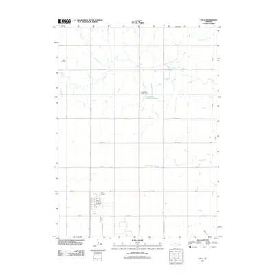
2011 Map of Utica
USGS Topo · Published 2011About this map
The village of Utica serves as the primary hub in this agricultural landscape of Seward County. Situated along a prominent east-west corridor, the settlement is anchored by the Utica Post Office and the nearby Utica Cemetery. The surrounding prairie is defined by a grid of rural roads and a drainage system of small creeks, including Lincoln Creek, Wildcat Creek, and Cottonwood Creek. Of particular interest is the localized water management indicated by the Langenheim-Brackham Dam and its associated Langenheim-Brackham Reservoir, which breaks the otherwise consistent township-and-range section lines. Genealogists will note the location of Dewitt Cemetery in the northwestern portion of the map, a quiet marker of early settlement history in the region. This 2011 survey illustrates how modern infrastructure, such as Branched Oak RD and Old Mill RD, continues to follow the historic section lines established during the initial homesteading era.
Find a feature on this map
18 named features on this map. Tap any name to fly to it.
Don’t see what you’re looking for? This feature index may not catch every label — zoom into the map to look around manually.
Map Details
Editions of this 2011 Utica Map
This is the sole edition of this map. No revisions or reprints were ever made.
Other maps of this area

1899 · David City
USGS Topo · 1:125,000

1934 · Seward
USGS Topo · 1:48,000

1934 · Utica
USGS Topo · 1:62,500

1937 · Utica
USGS Topo · 1:62,500

1939 · Seward
USGS Topo · 1:62,500

1955 · Fremont
USGS Topo · 1:250,000

1955 · Lincoln
USGS Topo · 1:250,000

1957 · Fremont
USGS Topo · 1:250,000

1957 · Lincoln
USGS Topo · 1:250,000

1958 · Fremont
USGS Topo · 1:250,000