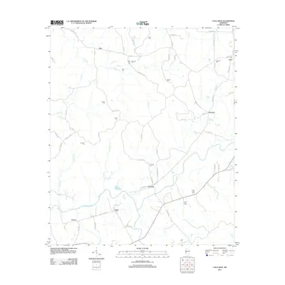
2012 Map of Utica West
USGS Topo · Published 2012About this map
Bayou Pierre meanders through the southern reaches of this landscape, anchoring a network of creek drainages that include White Oak Cr and Big Sand Cr. This Hinds County territory is defined by dispersed rural settlements and a significant concentration of family and community burial grounds, such as Seven Star Cem, McClellan Cem, and Nutt Cem located near the intersection of Buck Williams Rd.
Find a feature on this map
78 named features on this map. Tap any name to fly to it.
Don’t see what you’re looking for? This feature index may not catch every label — zoom into the map to look around manually.
Map Details
Editions of this 2012 Utica West Map
This is the sole edition of this map. No revisions or reprints were ever made.
Other maps of this area

1939 · Yokena
USGS Topo · 1:62,500

1953 · Natchez
USGS Topo · 1:250,000

1955 · Jackson
USGS Topo · 1:250,000

1956 · Natchez
USGS Topo · 1:250,000

1959 · Natchez
USGS Topo · 1:250,000

1961 · Jackson
USGS Topo · 1:250,000

1962 · Jackson
USGS Topo · 1:250,000

1962 · Utica West
USGS Topo · 1:24,000

1963 · Carlisle
USGS Topo · 1:24,000

1963 · Dentville NW
USGS Topo · 1:24,000