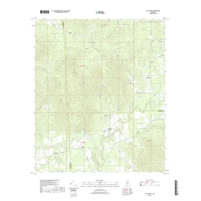
2018 Map of Utica West
USGS Topo · Published 2018About this map
The boundary lines of Hinds, Copiah, and Claiborne counties converge in this rural Mississippi landscape, dominated by the winding path of Bayou Pierre and its numerous tributaries. The settlement of Utica sits at the northeastern edge of the sheet, where Old Hwy 27 and the Utica Byp channel traffic through the region. To the south, the community of Carpenter serves as a local hub near the banks of White Oak Creek. The terrain is characterized by a dense network of creeks like Big Sand Cr and Mud Cr, which have shaped the local topography into a series of ridges and hollows.
Find a feature on this map
79 named features on this map. Tap any name to fly to it.
Don’t see what you’re looking for? This feature index may not catch every label — zoom into the map to look around manually.
Map Details
Editions of this 2018 Utica West Map
This is the sole edition of this map. No revisions or reprints were ever made.
Other maps of this area

1939 · Yokena
USGS Topo · 1:62,500

1953 · Natchez
USGS Topo · 1:250,000

1955 · Jackson
USGS Topo · 1:250,000

1956 · Natchez
USGS Topo · 1:250,000

1959 · Natchez
USGS Topo · 1:250,000

1961 · Jackson
USGS Topo · 1:250,000

1962 · Jackson
USGS Topo · 1:250,000

1962 · Utica West
USGS Topo · 1:24,000

1963 · Carlisle
USGS Topo · 1:24,000

1963 · Dentville NW
USGS Topo · 1:24,000