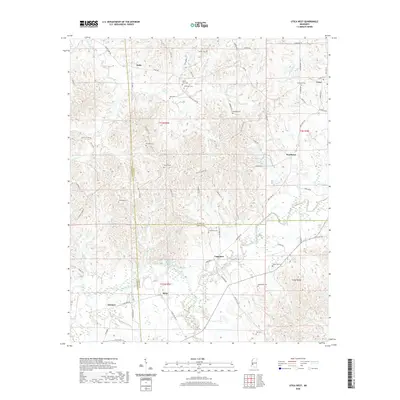
2020 Map of Utica West
USGS Topo · Published 2020About this map
Utica sits at the northeastern edge of this landscape where Hinds, Copiah, and Claiborne counties converge. The terrain is defined by a dense network of small family cemeteries and rural settlements, including Reedtown, Carpenter, and Myles. These communities are connected by narrow roads such as Paul Gallows Rd and Buck Williams Rd, tracing a pattern of land use that has persisted for generations. In the southwestern quadrant, the waters of Bayou Pierre and Scutchalo Creek carve through the land, featuring the notable Scutchalo Falls. This area reveals a transition from the structured street grid of town outskirts to the more isolated creek-bottom landscapes. Genealogists will find significant value in the numerous burial sites identified across the quadrangle, from the Seven Star Cem to the Anderson Cem, which serve as quiet markers of the region's familial history and early settlement patterns.
Find a feature on this map
79 named features on this map. Tap any name to fly to it.
Don’t see what you’re looking for? This feature index may not catch every label — zoom into the map to look around manually.
Map Details
Editions of this 2020 Utica West Map
This is the sole edition of this map. No revisions or reprints were ever made.
Other maps of this area

1939 · Yokena
USGS Topo · 1:62,500

1953 · Natchez
USGS Topo · 1:250,000

1955 · Jackson
USGS Topo · 1:250,000

1956 · Natchez
USGS Topo · 1:250,000

1959 · Natchez
USGS Topo · 1:250,000

1961 · Jackson
USGS Topo · 1:250,000

1962 · Jackson
USGS Topo · 1:250,000

1962 · Utica West
USGS Topo · 1:24,000

1963 · Carlisle
USGS Topo · 1:24,000

1963 · Dentville NW
USGS Topo · 1:24,000