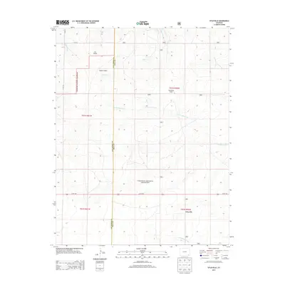
2013 Map of Utleyville
USGS Topo · Published 2013About this map
Utleyville and the surrounding high plains of Southeast Colorado are defined by a network of drainage arroyos and the preserved expanses of the Comanche National Grassland. The landscape is etched with significant natural landmarks such as Cat Canyon and Soldier Canyon, which feed into Soldier Cr and the N Fork Sand Arroyo. This area, situated along the Las Animas and Baca County line, shows a sparse settlement pattern dominated by large-scale ranching and land conservation. The road network, including US Hwy 160 and CO Rd 52, provides the primary transit through this section of the shortgrass prairie. Collectors and researchers can trace the hydrology of the region through features like Lone Rock Draw and the S Fork Sand Arroyo, which illustrate the natural drainage patterns that have shaped land use in this corner of the state.
Find a feature on this map
17 named features on this map. Tap any name to fly to it.
Don’t see what you’re looking for? This feature index may not catch every label — zoom into the map to look around manually.
Map Details
Editions of this 2013 Utleyville Map
This is the sole edition of this map. No revisions or reprints were ever made.
Other maps of this area
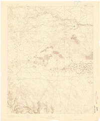
1891 · Springfield
USGS Topo · 1:125,000
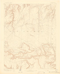
1892 · Mt Carrizo
USGS Topo · 1:125,000
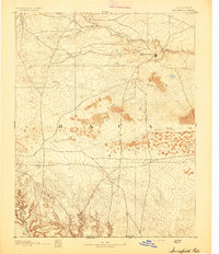
1893 · Springfield
USGS Topo · 1:125,000

1955 · La Junta
USGS Topo · 1:250,000

1958 · La Junta
USGS Topo · 1:250,000

1968 · La Junta
USGS Topo · 1:250,000
1978 · Pintada Creek
USGS Topo · 1:24,000
1978 · Utleyville
USGS Topo · 1:24,000
1978 · Lone Rock
USGS Topo · 1:24,000
1978 · Pritchett NW
USGS Topo · 1:24,000