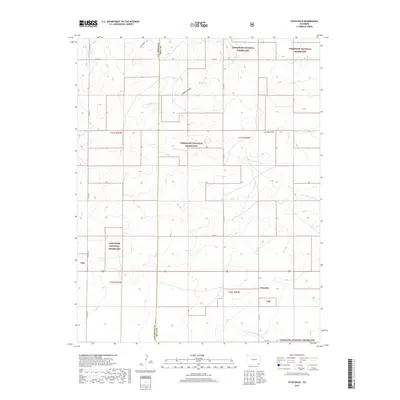
2019 Map of Utleyville
USGS Topo · Published 2019About this map
Utleyville stands as a focal point in this high-plains landscape where the Las Animas Co Baca Co line divides the terrain. This region is characterized by the expansive reaches of the Comanche National Grassland, where the natural drainage patterns of N Fork Sand Arroyo and S Fork Sand Arroyo define the movement of water across the semi-arid environment. The map details a transition from the rolling plains into more defined relief, particularly evident near Soldier Canyon and Lone Rock Draw. A network of county roads, including Co RD 2 and Co RD X, provides the primary infrastructure for this ranching and grazing territory. The proximity of Soldier Cr and Little Mustang Cr suggests the importance of intermittent water sources in sustaining the small communities and agricultural interests of southeastern Colorado.
Find a feature on this map
22 named features on this map. Tap any name to fly to it.
Don’t see what you’re looking for? This feature index may not catch every label — zoom into the map to look around manually.
Map Details
Editions of this 2019 Utleyville Map
This is the sole edition of this map. No revisions or reprints were ever made.
Other maps of this area
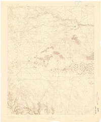
1891 · Springfield
USGS Topo · 1:125,000
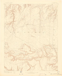
1892 · Mt Carrizo
USGS Topo · 1:125,000
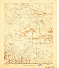
1893 · Springfield
USGS Topo · 1:125,000

1955 · La Junta
USGS Topo · 1:250,000

1958 · La Junta
USGS Topo · 1:250,000

1968 · La Junta
USGS Topo · 1:250,000
1978 · Pintada Creek
USGS Topo · 1:24,000
1978 · Utleyville
USGS Topo · 1:24,000
1978 · Lone Rock
USGS Topo · 1:24,000
1978 · Pritchett NW
USGS Topo · 1:24,000