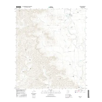
2016 Map of Utopia
USGS Topo · Published 2016About this map
The Sabinal River valley serves as the central artery for this portion of the Texas Hill Country, where the community of Utopia sits near the confluence of the W Sabinal River and Little Cr. The landscape is defined by a dense network of drainages and named hollows, including Franklin Hollow and Indian Hollow, that carve into the high ground around Bald Mtn. Just south of the main town site, the historical footprint of Waresville remains visible, anchored by the Waresville Cem.
Find a feature on this map
48 named features on this map. Tap any name to fly to it.
Don’t see what you’re looking for? This feature index may not catch every label — zoom into the map to look around manually.
Map Details
Editions of this 2016 Utopia Map
This is the sole edition of this map. No revisions or reprints were ever made.
Other maps of this area
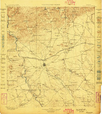
1898 · Uvalde
USGS Topo · 1:125,000
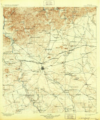
1899 · Uvalde
USGS Topo · 1:125,000

1954 · San Antonio
USGS Topo · 1:250,000
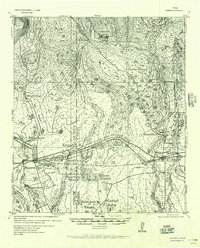
1956 · Sabinal
USGS Topo · 1:62,500
1956 · Tarpley
USGS Topo · 1:62,500
1956 · Utopia
USGS Topo · 1:62,500
1957 · San Antonio
USGS Topo · 1:250,000
1960 · Concan
USGS Topo · 1:24,000
1960 · Magers Crossing
USGS Topo · 1:24,000
1964 · Seco Pass
USGS Topo · 1:24,000