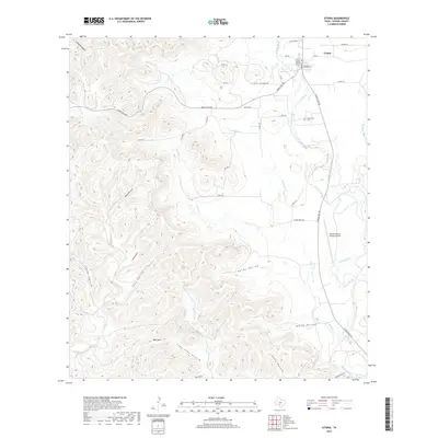
2019 Map of Utopia
USGS Topo · Published 2019About this map
The Sabinal River carves a distinct north-south path through this landscape, anchoring the settlement of Utopia and the nearby Utopia Park Lake. This 2019 survey captures the geographic transition from the river valley's relatively flat terrain to the dense network of drainage systems to the west. Numerous named hollows, such as Tean Hollow, Grape Hollow, and Indian Hollow, define the rugged limestone country leading toward the prominent Bald Mtn. Local history is preserved at the Waresville Cem east of the river, marking the site of early regional settlement. Infrastructure includes a grid of ranch and county roads, such as Ranch Rd 1050, which connect isolated homesteads and ranching operations like the Rancho Sabino Grande Airport to the town center. The map documents a complex hydrology where Little Blanco Cr, Onion Cr, and Saltmarsh Cr feed into the primary Sabinal drainage.
Find a feature on this map
45 named features on this map. Tap any name to fly to it.
Don’t see what you’re looking for? This feature index may not catch every label — zoom into the map to look around manually.
Map Details
Editions of this 2019 Utopia Map
This is the sole edition of this map. No revisions or reprints were ever made.
Other maps of this area
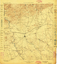
1898 · Uvalde
USGS Topo · 1:125,000
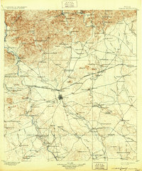
1899 · Uvalde
USGS Topo · 1:125,000

1954 · San Antonio
USGS Topo · 1:250,000
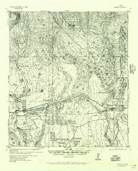
1956 · Sabinal
USGS Topo · 1:62,500
1956 · Tarpley
USGS Topo · 1:62,500
1956 · Utopia
USGS Topo · 1:62,500
1957 · San Antonio
USGS Topo · 1:250,000
1960 · Concan
USGS Topo · 1:24,000
1960 · Magers Crossing
USGS Topo · 1:24,000
1964 · Seco Pass
USGS Topo · 1:24,000