2024 Map of Utuado
USGS Topo · Published 2024About this map
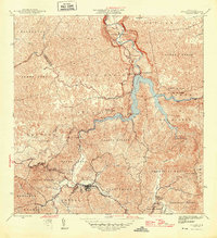
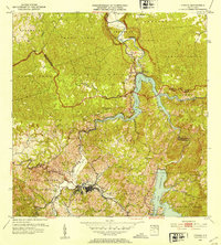
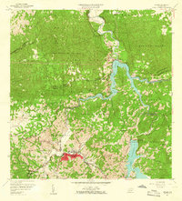
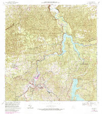
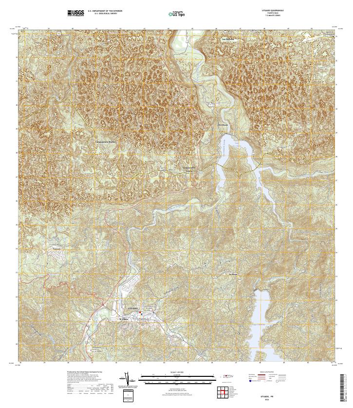
Utuado serves as the central hub of this interior Puerto Rican landscape, where the confluence of the Río Grande de Arecibo and Río Viví shapes the urban layout. The town is anchored by significant institutions like the Universidad de Puerto Rico en Utuado and the Centro Judicial de Utuado. The surrounding terrain is defined by dramatic hydrological features, most notably the large reservoirs of Lago Dos Bocas and Lago Caonillas, which dominate the eastern and northern reaches of the quadrangle. Smaller settlements such as Dos Bocas, Crozier, and Cayuco are connected by a network of winding roads like Ave Rolando Cabanas. The presence of Campamento Radley and another unnamed Campamento further north suggests a varied land use ranging from residential and academic to specialized encampments amid the dense drainage network of streams like Quebrada Jobos.
Find a feature on this map
34 named features on this map. Tap any name to fly to it.
Don’t see what you’re looking for? This feature index may not catch every label — zoom into the map to look around manually.
Map Details
Editions of this 2024 Utuado Map
This is the sole edition of this map. No revisions or reprints were ever made.
Historical Maps of El Jobo Through Time
5 maps found