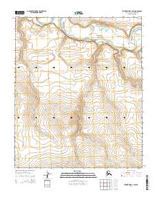
2014 Map of Utukok River C-3 SW
USGS Topo · Published 2014About this map
Utukok River dominates the northern half of this North Slope landscape, winding through a series of wide oxbows and braided channels that define the drainage patterns of this Arctic region. The terrain is structured by the Public Land Survey System, with the boundaries of t3n r36w, t3n r35w, t2n r36w, and t2n r35w marking the underlying geography. The map reveals a land shaped by water and elevation, where subtle contour changes indicate the movement of the river across the tundra. This survey provides a baseline of the Arctic hydrologic network and township grids as they existed in the early twenty-first century.
Find a feature on this map
5 named features on this map. Tap any name to fly to it.
Don’t see what you’re looking for? This feature index may not catch every label — zoom into the map to look around manually.
Map Details
Editions of this 2014 Utukok River C-3 SW Map
This is the sole edition of this map. No revisions or reprints were ever made.
Other maps of this area

1951 · Utukok River
USGS Topo · 1:250,000
1955 · Utukok River C-3
USGS Topo · 1:63,360
1955 · Utukok River B-3
USGS Topo · 1:63,360
1955 · Utukok River B-4
USGS Topo · 1:63,360
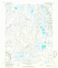
1955 · Utukok River C-4
USGS Topo · 1:63,360

1956 · Utukok River
USGS Topo · 1:250,000

1965 · Utukok River
USGS Topo · 1:250,000
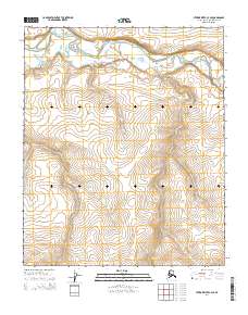
2014 · Utukok River C-3 SE
USGS Topo · 1:25,000
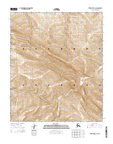
2014 · Utukok River B-3 NE
USGS Topo · 1:25,000
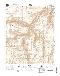
2014 · Utukok River C-3 NE
USGS Topo · 1:25,000