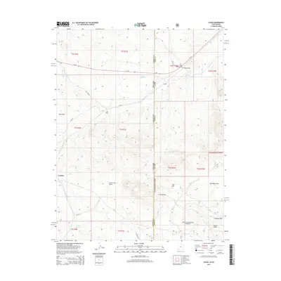
2014 Map of Uvada
USGS Topo · Published 2014About this map
The Nevada-Utah border divides this high-desert landscape, where the settlements of Uvada and Crestline serve as primary points of interest in a region defined by its rugged topography and seasonal water management. The junction of Ut-56 and NV-319 marks a critical transportation corridor near the northern edge of the map, while the southern reaches are dominated by the northern boundaries of the Dixie National Forest. Local ranching and land use are evident through features like Salt Licks and various water catchments, including Uvada Reservoir, Old Highway Reservoir, and Lutes Reservoir. The terrain is characterized by deep incisions such as Clover Creek Canyon and Lien Draw, which transition into prominent ridgelines like Panaca Ridge. From the narrows of Devils Gap to the cattle-named draws like Studhorse Draw, this map captures the remote character of the Iron County borderlands in the early 21st century.
Find a feature on this map
36 named features on this map. Tap any name to fly to it.
Don’t see what you’re looking for? This feature index may not catch every label — zoom into the map to look around manually.
Map Details
Editions of this 2014 Uvada Map
This is the sole edition of this map. No revisions or reprints were ever made.
Other maps of this area
1885 · St. George
USGS Topo · 1:250,000
1885 · Pioche
USGS Topo · 1:250,000
1886 · Pioche
USGS Topo · 1:250,000
1891 · St. George
USGS Topo · 1:250,000
1953 · Cedar City
USGS Topo · 1:250,000

1954 · Caliente
USGS Topo · 1:250,000
1958 · Cedar City
USGS Topo · 1:250,000
1959 · Caliente
USGS Topo · 1:250,000
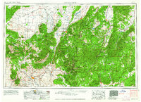
1962 · Cedar City
USGS Topo · 1:250,000
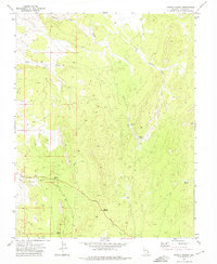
1972 · Panaca Summit
USGS Topo · 1:24,000