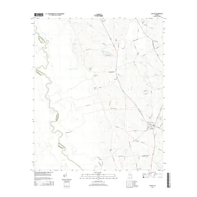
2014 Map of Uvalda
USGS Topo · Published 2014About this map
The Oconee River defines the western boundary of this South Georgia landscape, winding through a complex of wetlands and oxbows including the Dead River and Crooked Cr. Inland, the settlement of Uvalda serves as a central hub, connected to Charlotteville and Long Pond via Us-221. The area is characterized by its agricultural and hydraulic history, evidenced by numerous named watercourses such as McAllister Mill Cr and Mobley Mill Cr, which suggest early mill sites along the local drainages.
Find a feature on this map
80 named features on this map. Tap any name to fly to it.
Don’t see what you’re looking for? This feature index may not catch every label — zoom into the map to look around manually.
Map Details
Editions of this 2014 Uvalda Map
This is the sole edition of this map. No revisions or reprints were ever made.
Other maps of this area

1953 · Waycross
USGS Topo · 1:250,000

1957 · Macon
USGS Topo · 1:250,000

1958 · Macon
USGS Topo · 1:250,000

1958 · Waycross
USGS Topo · 1:250,000

1964 · Macon
USGS Topo · 1:250,000

1970 · Glenwood
USGS Topo · 1:24,000

1970 · Alston
USGS Topo · 1:24,000

1970 · Mount Vernon
USGS Topo · 1:24,000

1970 · Vidalia
USGS Topo · 1:24,000

1970 · Uvalda
USGS Topo · 1:24,000