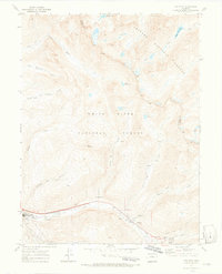
1970 Map of Vail East
USGS Topo · Published 1973About this map
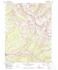
Vail sits at the base of a high-alpine landscape at the dawn of its development as a major mountain destination. This 1970 field-checked survey captures the early footprint of the Ski Area and the Gore Golf Course along the narrow valley floor. The geography is defined by the steep drainages of the White River National Forest and Arapaho National Forest, where numerous pack trails and foot trails connect remote high-altitude water bodies such as Upper Slate Lake, Booth Lake, and Deluge Lake.
Find a feature on this map
37 named features on this map. Tap any name to fly to it.
Don’t see what you’re looking for? This feature index may not catch every label — zoom into the map to look around manually.
Map Details
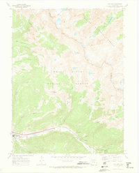
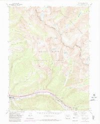
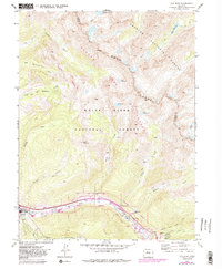
Editions of this 1970 Vail East Map
5 editions found
Other maps of this area

1929 · Dillon
USGS Topo · 1:62,500

1933 · Mt. Powell
USGS Topo · 1:48,000

1933 · Ute Peak
USGS Topo · 1:62,500

1934 · Minturn
USGS Topo · 1:62,500

1934 · Dillon
USGS Topo · 1:62,500

1937 · Ute Peak
USGS Topo · 1:62,500

1940 · Mount Powell
USGS Topo · 1:62,500

1950 · Minturn
USGS Topo · 1:62,500

1957 · Leadville
USGS Topo · 1:250,000

1959 · Leadville
USGS Topo · 1:250,000