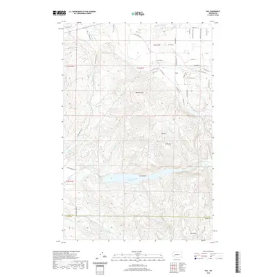
2020 Map of Vail
USGS Topo · Published 2020About this map
Vail sits at the northern edge of a landscape defined by the drainage systems of the Deschutes River and the Skookumchuck River. This survey captures the region as the Skookumchuck Reservoir dominates the central basin, with the water level reaching into the narrow valleys of Trotter Run and Bloody Run. The terrain rises sharply from the flats of Ruth Prairie in the north toward a series of prominent peaks, including Baumgard Hill, Bald Hill, and Miller Hill. To the south, the boundary between Thurston Co and Lewis Co cuts across the high ground of Blue Ridge. The map documents a network of forest development roads and local connectors like Vail Cut-Off Rd SE, reflecting the area's transition from open prairie to the timbered ridges of the Cascade foothills.
Find a feature on this map
51 named features on this map. Tap any name to fly to it.
Don’t see what you’re looking for? This feature index may not catch every label — zoom into the map to look around manually.
Map Details
Editions of this 2020 Vail Map
This is the sole edition of this map. No revisions or reprints were ever made.
Other maps of this area

1916 · Chehalis
USGS Topo · 1:125,000

1940 · Tenino
USGS Topo · 1:62,500

1943 · Willapa
USGS Topo · 1:62,500

1944 · Tenino
USGS Topo · 1:62,500

1944 · Yelm
USGS Topo · 1:62,500

1949 · Yelm
USGS Topo · 1:62,500

1949 · Tenino
USGS Topo · 1:62,500

1953 · Hoquiam
USGS Topo · 1:250,000

1954 · Onalaska
USGS Topo · 1:62,500

1954 · Centralia
USGS Topo · 1:62,500