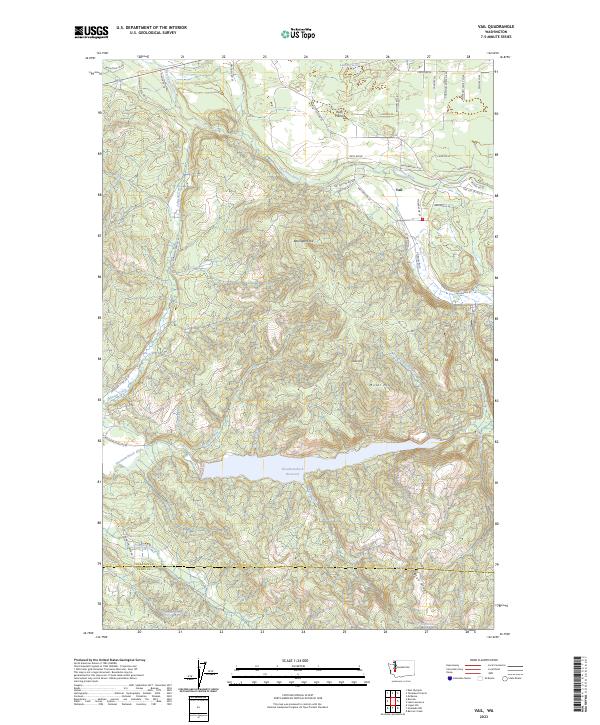
2023 Map of Vail
USGS Topo · Published 2023About this map
The settlement of Vail serves as a focal point in this southern Thurston County landscape, situated near where the Deschutes River winds through timbered terrain. The topography is defined by significant elevations such as Baumgard Hill, Bold Hill, and Miller Hill, which overlook a network of drainage systems including Johnson Creek and Trotter Run. To the north, the relatively level expanse of Ruth Prairie contrasts with the surrounding ridges, while Lake Fifteen sits tucked into the northern boundary.
Find a feature on this map
52 named features on this map. Tap any name to fly to it.
Don’t see what you’re looking for? This feature index may not catch every label — zoom into the map to look around manually.
Map Details
Editions of this 2023 Vail Map
This is the sole edition of this map. No revisions or reprints were ever made.
Other maps of this area

1916 · Chehalis
USGS Topo · 1:125,000

1940 · Tenino
USGS Topo · 1:62,500

1943 · Willapa
USGS Topo · 1:62,500

1944 · Tenino
USGS Topo · 1:62,500

1944 · Yelm
USGS Topo · 1:62,500

1949 · Yelm
USGS Topo · 1:62,500

1949 · Tenino
USGS Topo · 1:62,500

1953 · Hoquiam
USGS Topo · 1:250,000

1954 · Onalaska
USGS Topo · 1:62,500

1954 · Centralia
USGS Topo · 1:62,500