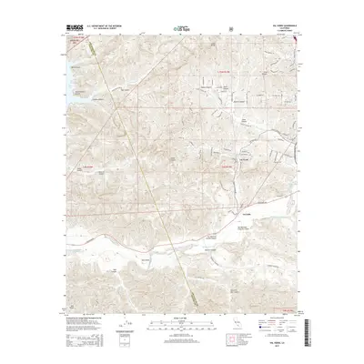
2015 Map of Val Verde
USGS Topo · Published 2015About this map
The Santa Clara River corridor defines the southern portion of this landscape, where the San Martinez Grande Canyon and San Martinez Chiquito Canyon converge near the settlement of Del Valle. The terrain is characterized by a dense network of drainages and ridges, including the prominent Oak Ridge and several named canyons such as Holser Canyon, Potrero Canyon, and Tapo Canyon. In the northwest, the edge of Lake Piru is visible, marking a significant water feature near the boundary between Los Angeles County and Ventura County.
Find a feature on this map
59 named features on this map. Tap any name to fly to it.
Don’t see what you’re looking for? This feature index may not catch every label — zoom into the map to look around manually.
Map Details
Editions of this 2015 Val Verde Map
This is the sole edition of this map. No revisions or reprints were ever made.
Other maps of this area

1900 · Piru
USGS Topo · 1:62,500

1903 · Tejon
USGS Topo · 1:125,000

1903 · Camulos
USGS Topo · 1:125,000

1903 · Santa Susana
USGS Topo · 1:62,500

1921 · Piru
USGS Topo · 1:62,500
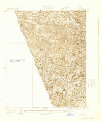
1929 · Pico
USGS Topo · 1:24,000

1931 · Whitaker Peak
USGS Topo · 1:24,000

1931 · Santa Felicia Canyon
USGS Topo · 1:24,000

1931 · Castaic
USGS Topo · 1:24,000

1935 · Santa Felicia Canyon
USGS Topo · 1:24,000