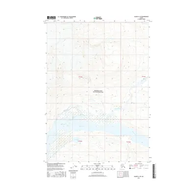
2016 Map of Valdez A-2 SE
USGS Topo · Published 2016About this map
Wrangell-Saint Elias National Park encompasses this portion of the Alaskan wilderness, where complex glacial and fluvial processes define the landscape. The Bremner River dominates the southern sector, its braided channels creating a wide valley floor marked by sediment deposits and changing water courses. To the north, the river system branches into the Little Bremner River and is fed by smaller tributaries including MacCreel Cr and Porcupine Cr. This 2016 survey documents the intricate wetlands and water bodies of the river flats, most notably Steamboat Lake and the winding Happell Slough. The topographic data reveals the steep elevation gradients rising from the river basin into the surrounding peaks, illustrating the isolation and scale of this protected environment within the Unorganized Borough.
Find a feature on this map
11 named features on this map. Tap any name to fly to it.
Don’t see what you’re looking for? This feature index may not catch every label — zoom into the map to look around manually.
Map Details
Editions of this 2016 Valdez A-2 SE Map
This is the sole edition of this map. No revisions or reprints were ever made.
Other maps of this area

1948 · Cordova
USGS Topo · 1:250,000

1951 · Cordova
USGS Topo · 1:250,000

1951 · Valdez A-1
USGS Topo · 1:63,360

1951 · Valdez A-2
USGS Topo · 1:63,360

1952 · Valdez
USGS Topo · 1:250,000
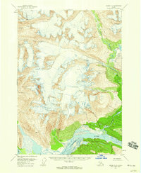
1957 · Valdez A-2
USGS Topo · 1:63,360

1959 · Cordova D-1
USGS Topo · 1:63,360

1959 · Cordova D-2
USGS Topo · 1:63,360

1959 · Cordova
USGS Topo · 1:250,000

1960 · Valdez
USGS Topo · 1:250,000