
1959 Map of Cordova D-1
USGS Topo · Published 1963About this map
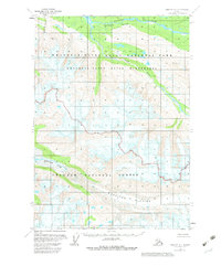
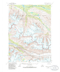
Wernicke Glacier and its sprawling terminus dominate the southern reaches of this landscape, feeding the braided channels of the Wernicke River. The terrain is defined by high alpine elevations and glacial action, evidenced by the numerous crevasses mapped across the ice fields. To the north, the Bremner River carves through the mountains, passing through the steep-walled Threemile Canyon where it meets the South Fork.
Find a feature on this map
10 named features on this map. Tap any name to fly to it.
Don’t see what you’re looking for? This feature index may not catch every label — zoom into the map to look around manually.
Map Details
Editions of this 1959 Cordova D-1 Map
3 editions found
Other maps of this area

1948 · Cordova
USGS Topo · 1:250,000

1950 · McCarthy A-8
USGS Topo · 1:63,360

1950 · Bering Glacier
USGS Topo · 1:250,000

1951 · McCarthy
USGS Topo · 1:250,000

1951 · Bering Glacier
USGS Topo · 1:250,000

1951 · Cordova
USGS Topo · 1:250,000

1951 · Valdez A-1
USGS Topo · 1:63,360

1951 · Valdez A-2
USGS Topo · 1:63,360

1952 · Valdez
USGS Topo · 1:250,000
1957 · Valdez A-2
USGS Topo · 1:63,360