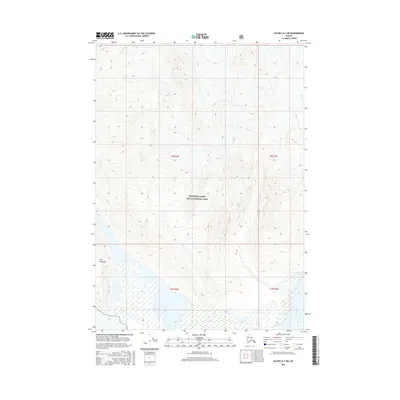
2016 Map of Valdez A-2 SW
USGS Topo · Published 2016About this map
Wrangell-Saint Elias National Park encompasses the high-altitude terrain of this 2016 survey, where deep glacial-carved valleys meet a complex system of braided river channels. The southeast corner is defined by the Bremner River, which cuts through the landscape as it drains the surrounding peaks. In the southwestern portion of the sheet, the land forms a distinctive landmass known as The Peninsula, surrounded by a wide, sediment-filled basin. This landscape illustrates the dynamic nature of Alaskan wilderness, where elevation drops from over 7,000 feet to the riverbed in a relatively short distance. The survey documents the Public Land Survey System grid across these remote townships, including t9s r4e and t10s r5e, providing a precise record of federal land boundaries within one of the nation's largest protected areas.
Find a feature on this map
7 named features on this map. Tap any name to fly to it.
Don’t see what you’re looking for? This feature index may not catch every label — zoom into the map to look around manually.
Map Details
Editions of this 2016 Valdez A-2 SW Map
This is the sole edition of this map. No revisions or reprints were ever made.
Other maps of this area

1948 · Cordova
USGS Topo · 1:250,000

1950 · Valdez A-3
USGS Topo · 1:63,360

1950 · Cordova D-3
USGS Topo · 1:63,360

1951 · Cordova
USGS Topo · 1:250,000

1951 · Valdez A-2
USGS Topo · 1:63,360

1952 · Valdez
USGS Topo · 1:250,000

1953 · Cordova D-3
USGS Topo · 1:63,360

1953 · Valdez A-3
USGS Topo · 1:63,360
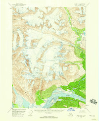
1957 · Valdez A-2
USGS Topo · 1:63,360

1959 · Cordova D-2
USGS Topo · 1:63,360