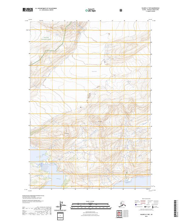
2023 Map of Valdez A-7 NW
USGS Topo · Published 2023About this map
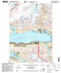
Chugach National Forest dominates this coastal landscape, where massive ice fields meet the waters of the Prince William Sound region. The retreat and movement of the Columbia Glacier and Shoup Glacier define the glacial valleys and runoff patterns of the territory, feeding into the tidal environment of Shoup Bay. This modern survey illustrates the proximity of high peaks like Mt Hogan and Mt Shasta to the coastal drainage basins.
Find a feature on this map
16 named features on this map. Tap any name to fly to it.
Don’t see what you’re looking for? This feature index may not catch every label — zoom into the map to look around manually.
Map Details
Editions of this 2023 Valdez A-7 NW Map
This is the sole edition of this map. No revisions or reprints were ever made.
Other maps of this area

1952 · Valdez
USGS Topo · 1:250,000

1960 · Valdez A-8
USGS Topo · 1:63,360

1960 · Valdez B-7
USGS Topo · 1:63,360

1960 · Valdez B-8
USGS Topo · 1:63,360

1960 · Valdez A-7
USGS Topo · 1:63,360

1960 · Valdez
USGS Topo · 1:250,000
1983 · Valdez A-7 SE
USGS Topo · 1:25,000
1983 · Valdez A-7 NE
USGS Topo · 1:25,000
1995 · Valdez A-8
USGS Topo · 1:63,360
1996 · Valdez A-7
USGS Topo · 1:63,360