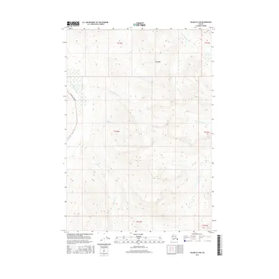
2016 Map of Valdez B-3 NW
USGS Topo · Published 2016About this map
Tonsina and the corridor of the Richardson Highway anchor this 2016 survey of the Alaskan interior. The landscape is defined by its complex drainage network, where the Little Tonsina River and Uranatina River flow through high-elevation terrain. The presence of the highway follows the natural path adjacent to the Tiekel River, illustrating the historical reliance on river valleys for infrastructure in this part of the Unorganized Borough. Tributaries such as Bernard Cr, Ernestine Cr, and Mosquito Cr branch across the topographic contours, revealing the hydraulic patterns that have shaped the region's geography and limited settlement primarily to the road corridor.
Find a feature on this map
14 named features on this map. Tap any name to fly to it.
Don’t see what you’re looking for? This feature index may not catch every label — zoom into the map to look around manually.
Map Details
Editions of this 2016 Valdez B-3 NW Map
This is the sole edition of this map. No revisions or reprints were ever made.
Other maps of this area

1951 · Valdez B-3
USGS Topo · 1:63,360

1951 · Valdez C-3
USGS Topo · 1:63,360

1951 · Valdez C-4
USGS Topo · 1:63,360

1951 · Valdez B-4
USGS Topo · 1:63,360

1952 · Valdez
USGS Topo · 1:250,000

1953 · Valdez C-3
USGS Topo · 1:63,360

1953 · Valdez B-4
USGS Topo · 1:63,360

1953 · Valdez C-4
USGS Topo · 1:63,360

1960 · Valdez
USGS Topo · 1:250,000

1994 · Valdez B-4
USGS Topo · 1:63,360