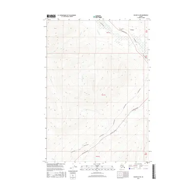
2016 Map of Valdez B-4 NE
USGS Topo · Published 2016About this map
The settlement of Tonsina sits at a geographic crossroads in this 2016 survey, where industrial and natural corridors intersect. The landscape is defined by the parallel paths of the Alaska Pipeline and the Richardson Highway, which navigate the high-elevation terrain alongside the Little Tonsina River. This transit corridor represents a critical artery through the Alaskan interior, following the natural drainage patterns of the Copper River basin.
Find a feature on this map
16 named features on this map. Tap any name to fly to it.
Don’t see what you’re looking for? This feature index may not catch every label — zoom into the map to look around manually.
Map Details
Editions of this 2016 Valdez B-4 NE Map
This is the sole edition of this map. No revisions or reprints were ever made.
Other maps of this area

1951 · Valdez B-3
USGS Topo · 1:63,360

1951 · Valdez C-3
USGS Topo · 1:63,360

1951 · Valdez C-4
USGS Topo · 1:63,360

1951 · Valdez B-4
USGS Topo · 1:63,360

1952 · Valdez
USGS Topo · 1:250,000

1953 · Valdez C-3
USGS Topo · 1:63,360

1953 · Valdez B-4
USGS Topo · 1:63,360

1953 · Valdez C-4
USGS Topo · 1:63,360

1960 · Valdez
USGS Topo · 1:250,000

1994 · Valdez B-4
USGS Topo · 1:63,360