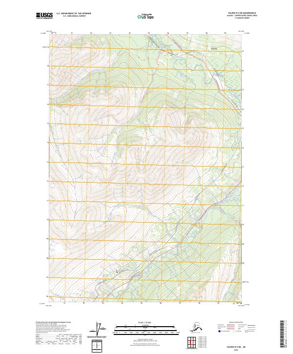
2023 Map of Valdez B-4 NE
USGS Topo · Published 2023About this map
The Alaska Pipeline snakes through this high-elevation corridor of the Copper River Census Area, following a path roughly parallel to the Richardson Highway. This modern survey reveals how the infrastructure of the North Slope oil transport interacts with the natural drainage basins of the Chugach Mountains. In the northern reaches of the map, the Little Tonsina River and its tributaries carve through the terrain near Tonsina, while further south, the Tiekel River and Fiftynine Mile Creek define the watershed. The map records a landscape largely defined by its watercourses and transit arteries, including several named paths such as the Fourth of July Creek Trl and the 54 Mile Trl. These routes, alongside drainages like Slate Creek and Fall Creek, emphasize the region's character as a vital yet sparsely inhabited passage through the Alaskan interior.
Find a feature on this map
17 named features on this map. Tap any name to fly to it.
Don’t see what you’re looking for? This feature index may not catch every label — zoom into the map to look around manually.
Map Details
Editions of this 2023 Valdez B-4 NE Map
This is the sole edition of this map. No revisions or reprints were ever made.
Other maps of this area

1951 · Valdez B-3
USGS Topo · 1:63,360

1951 · Valdez C-3
USGS Topo · 1:63,360

1951 · Valdez C-4
USGS Topo · 1:63,360

1951 · Valdez B-4
USGS Topo · 1:63,360

1952 · Valdez
USGS Topo · 1:250,000

1953 · Valdez C-3
USGS Topo · 1:63,360

1953 · Valdez B-4
USGS Topo · 1:63,360

1953 · Valdez C-4
USGS Topo · 1:63,360

1960 · Valdez
USGS Topo · 1:250,000

1994 · Valdez B-4
USGS Topo · 1:63,360