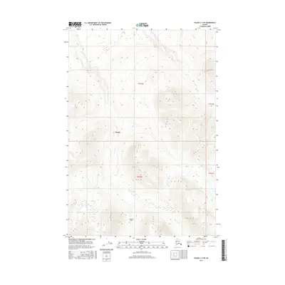
2016 Map of Valdez C-3 SW
USGS Topo · Published 2016About this map
Kimball Pass and the surrounding drainage of Bernard Cr define this high-latitude terrain within the Chugach Mountains region. This 2016 survey highlights the significant topographic relief between the northern valley of Tonsina and the higher southern elevations near the pass. The water system is characterized by the winding path of Bernard Cr through the central and southern sections, while Dust Cr marks the northeastern slopes. The map provides a precise look at the township and range divisions, including t3s r2e and t4s r3e, which are essential for locating specific land parcels in this remote part of the Unorganized Borough. This area represents a largely untouched wilderness landscape where natural watercourses and high mountain passes are the primary navigational landmarks.
Find a feature on this map
8 named features on this map. Tap any name to fly to it.
Don’t see what you’re looking for? This feature index may not catch every label — zoom into the map to look around manually.
Map Details
Editions of this 2016 Valdez C-3 SW Map
This is the sole edition of this map. No revisions or reprints were ever made.
Other maps of this area

1951 · Valdez B-3
USGS Topo · 1:63,360

1951 · Valdez C-3
USGS Topo · 1:63,360

1951 · Valdez C-4
USGS Topo · 1:63,360

1951 · Valdez B-4
USGS Topo · 1:63,360

1952 · Valdez
USGS Topo · 1:250,000

1953 · Valdez C-3
USGS Topo · 1:63,360

1953 · Valdez B-4
USGS Topo · 1:63,360

1953 · Valdez C-4
USGS Topo · 1:63,360

1960 · Valdez
USGS Topo · 1:250,000

1994 · Valdez B-4
USGS Topo · 1:63,360