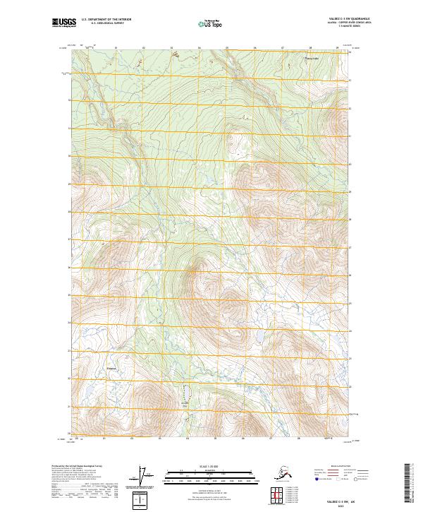
2023 Map of Valdez C-3 SW
USGS Topo · Published 2023About this map
Kenny Lake and Tonsina anchor the northern and southern reaches of this interior Alaskan landscape. The terrain is defined by the significant elevation change through Kimball Pass, situated between the drainages of Bernard Creek and Dust Creek. This area of the Copper River Census Area illustrates a transition from the lower-lying settlement areas in the north toward the high mountain passes of the south. The mapping reflects the sparse human footprint in this wilderness, where the primary features are natural watercourses and the high-altitude gaps used for transit through the rugged mountain ranges. The grid of the Public Land Survey System, including t3s r2e and t4s r3e, provides the structural framework for these remote townships.
Find a feature on this map
9 named features on this map. Tap any name to fly to it.
Don’t see what you’re looking for? This feature index may not catch every label — zoom into the map to look around manually.
Map Details
Editions of this 2023 Valdez C-3 SW Map
This is the sole edition of this map. No revisions or reprints were ever made.
Other maps of this area

1951 · Valdez B-3
USGS Topo · 1:63,360

1951 · Valdez C-3
USGS Topo · 1:63,360

1951 · Valdez C-4
USGS Topo · 1:63,360

1951 · Valdez B-4
USGS Topo · 1:63,360

1952 · Valdez
USGS Topo · 1:250,000

1953 · Valdez C-3
USGS Topo · 1:63,360

1953 · Valdez B-4
USGS Topo · 1:63,360

1953 · Valdez C-4
USGS Topo · 1:63,360

1960 · Valdez
USGS Topo · 1:250,000

1994 · Valdez B-4
USGS Topo · 1:63,360